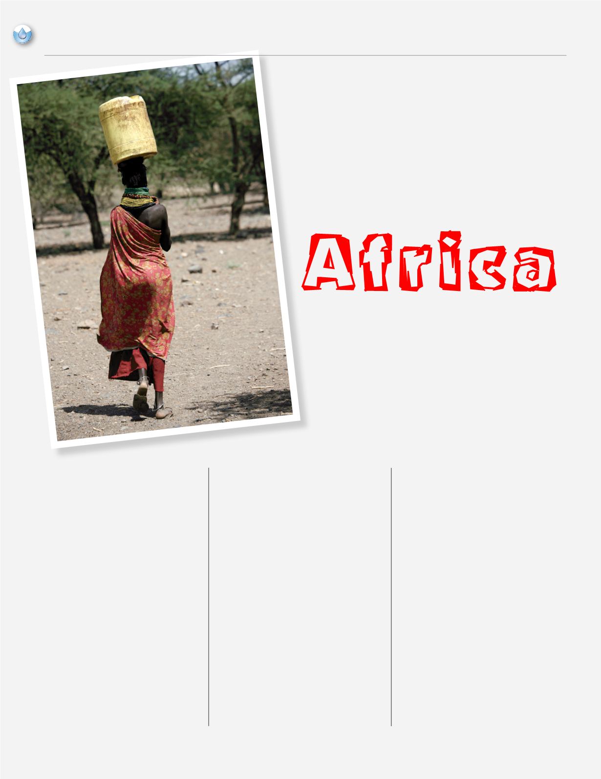
U
pon hearing that at least two large aquifers
were discovered inAfrica recently, I thought - what
a wonderful thing – then I wondered how
they were discovered, and why no one had
been aware of them before now. It is being
reported that as many as five aquifers have
been found in Turkana County in the north
of Kenya. Two of the aquifers have been
confirmed by drilling, the other three, not yet.
Containing an estimated 200 billion cubic
meters of fresh water, the Lotikipi Basin
Aquifer is about the size of Rhode Island,
and in addition to potentially providing
drinking water to a drought stricken nation,
the vast underground supplies could be used
as a source of irrigation for crops or to water
livestock, changing the future for the people
of that nation. The search was the result of a
cooperation between the Kenyan government
and UNESCO, (United Nations Educational,
Scientific and Cultural Organization), and
was financially supported by Japan. Together
the Lotikipi Basin Aquifer and the smaller
Lodwar Basin Aquifer contain about 250
billion cubic meters, and are replenished at
an estimated 3.4 billion cubic meters per year.
The aquifers were discovered using advanced
satellite technology and confirmed by drilling.
By some estimates, the water sources are
enough to provide water to Kenyans for the
next 70 years.
Alain Gachet, the head of a French based
natural resources exploration firm, Radar
Technologies International (RTI), used his
company’s innovative WATEX™, short
for water exploration, mapping system
to survey the area of northern Kenya.
WATEX™ technology combines satellite
and radar imagery with geographical surveys,
climate maps, and seismic data to provide
a comprehensive snapshot of what may lie
beneath a given area of land. By combining
space-based photographic imagery, ground-
penetrating radar and topographic data - much
of which has only recently become available
- Gachet creates maps that are proving to be
excellent guides for finding undiscovered
underground aquatic resources. The end of
the Cold War has resulted in much of the data
being made available. According to the RTI
website, the “WATEX™ image processing
component detects groundwater moisture
in depths of 40 meters or more and enables
accurate modeling of aquifers and fractures
in shallow depths (0-100 meters). WATEX™
also maps deep aquifers from 100 meters to
4,000 meters with the integration of petroleum
industry data.” The technology had been
used previously in the search for mineral
Aquifers
Discovered in
Africa
By Debbie Maner
8
NCRWA.COM |
Winter 2014
feature


