By Brian Grogan, UMC
C
16
NCRWA.COM |
Spring 2014
an you locate all of your meters? What is the condition of each meter?
Are they lockable? Could your meter reading route be more efficient?
These are a few of the questions the Town of Marshville had concerning
their distribution system. Having an accurate and up to date inventory
of your system’s assets is critical for future operational and financial
planning. Utilizing a GIS (Geographical Information System) database
is one of the best ways to keep up with information concerning your
utility’s assets.
Utilizing current GPS technology, every valve, hydrant, meter, etc. can
be located and mapped with great accuracy, usually less than one foot.
In addition to having accurate maps, critical information about each
asset is recorded and stored in a database. The database can include
useful information such as: date of installation, date of last inspection,
manufacturer, condition and even digital photographs. The following is
a summary of how the Town of Marshville utilized GIS technology to
evaluate and improve their water system.
ABOUT MARSHVILLE:
Marshville’s distribution system is comprised of approximately 41
miles of water mains ranging from 1-8 inch, one elevated storage tank,
two interconnections with the Anson County water system, and an
emergency interconnection with the Town of Wingate. The population
served is estimated to be around 3,500 based on census data and the
number of connections.
GETTING STARTED:
NCRWA met with the Town of Marshville to discuss the critical need
for up-to-date data relating to Marshville’s utility system. NCRWA staff
assisted with the selection and setup of equipment/software necessary
to complete the project. Marshville selected a Trimble GeoExplorer
6000 series GPS which provides sub-foot accuracy, Trimble TerraSync
software, Pathfinder Office, and ESRI ArcGIS Desktop software for
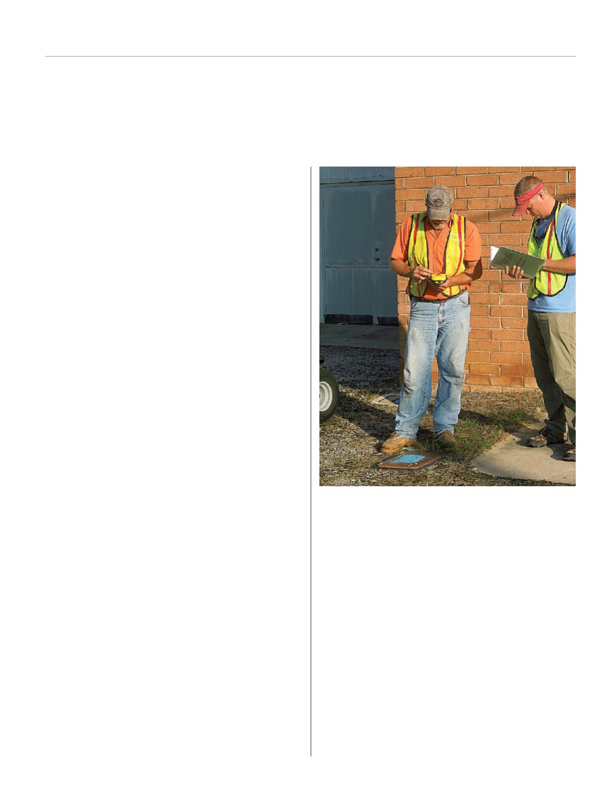
mapping. NCRWA provided hands on training for Town employees
including setup, collection of field data, differential correction and
transfer of data to mapping software.
SUMMARYAND RESULTS:
Upon completion of the project, Marshville had definitive locations
for all water meters/connections in their system, 1,411 connections
were inventoried and GPS coordinates obtained. During this process,
notations were made of meters needing to be relocated closer to mains
and leaking services were repaired. Along with the location, numerous
attributes were collected for each meter including:
Service type
Size of meter
Meter manufacturer
Service line material
Condition of meter
Meter box type
It was also noted whether each customer was located within the Town
limits. This information will be used to estimate equipment costs and
needs to transfer to an automated meter reading system in the future.
This data can also help verify each customer is being charged the correct
rate based on location within town limits.
The Town has three sewer basins, each being metered in a different
location and flow treated by both Union and Anson Counties. By noting
which sewer basin each customer is located in, staff is able to segregate
user’s water consumption totals to approximate how much sewer flow
is generated by the users in each basin. Comparing this information
NCRWA Assists Town of Marshville
with Asset Management Utilizing GIS


