This project would not have taken place had
it not been for the assistance of NCRWA. The
Guys at NCRWA make a remarkable team that is
willing to do whatever it takes to make sure the
job gets done right.” – Alicia Melton, Director of
Utilities, Town of Marshville
Spring 2014 |
NCRWA.COM
17
to flow meter totals will assist in determining inflow and infiltration in
each basin.
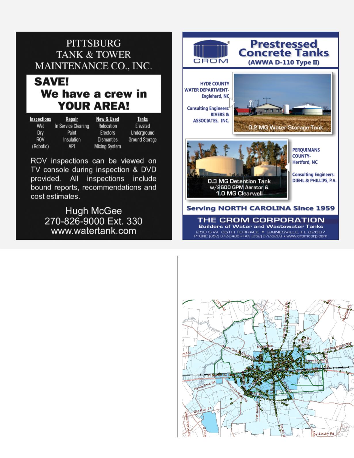
Once all meters were mapped, the Town was able to determine the most
efficient and cost effective routes for reading meters. Having accurate
maps will be a valuable tool for staff who may not be familiar with the
system and to assist customers who can be told where to find their meter
in case of a leak or questions about water consumption.
In addition to locating meters, Marshville has been utilizing the GPS and
software to map water and wastewater system issues as they occur. This
information will be used for state reporting. Water main breaks, reduced
pressure complaints, sewer blockages and breaks are being mapped and
information recorded in the geodatabase. This data can be used to plan
and prioritize future infrastructure improvement projects.
The Town of Marshville has made use of GIS technology to gain valuable
information about their water distribution system. They will continue to
build on the data already collected and develop an accurate record of
the entire utility system. Once this is complete, managers will have an
invaluable tool to assist them with their job.


